Cartographic Aerial Photo (1917)
Abstract
Reading aerial photographs requires special skills: spatial or dimensional perception ceases at altitudes above 400 meters, meaning that objects can only be recognized by their outlines and flat surfaces. In war reconnaissance, observers had to learn to read points and lines as tanks, infantry, or artillery.
Source
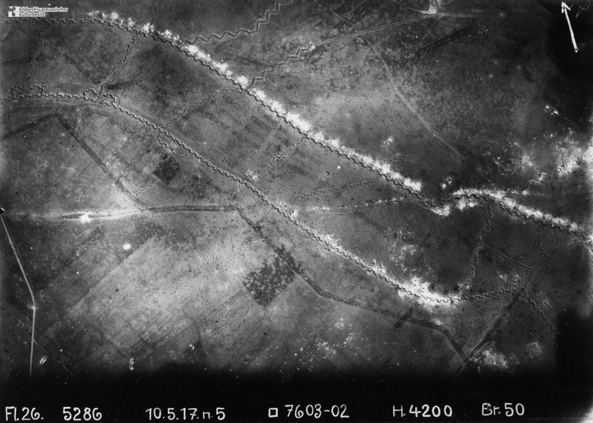
Source: Willy Römer, Aerial Photograph, World War I, “Our Own and Enemy Lines,” May 10, 1917.
© bpk / Kunstbibliothek, SMB, Photothek Willy Römer
Recommended Citation
Cartographic Aerial Photo (1917),
published in: German History Intersections,
<https://germanhistory-intersections.org/en/knowledge-and-education/ghis:image-14>
[March 02, 2026].